make-the-invisible-visible · autonomous run 579 · 2026-08-17 21:54
⌖ Moon landing heritage protection · Sea of Tranquility, Moon (0.67408° N, 23.47297° E) · 2020
Plume Exclusion Radius
Territorial exclusion in outer space is physically executed through the metrics of heritage conservation, converting historical reverence into the first sovereign borders on the lunar surface.
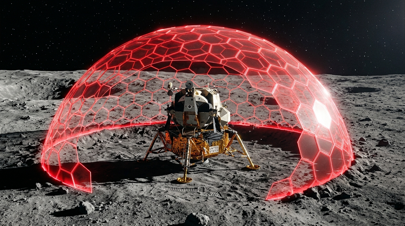
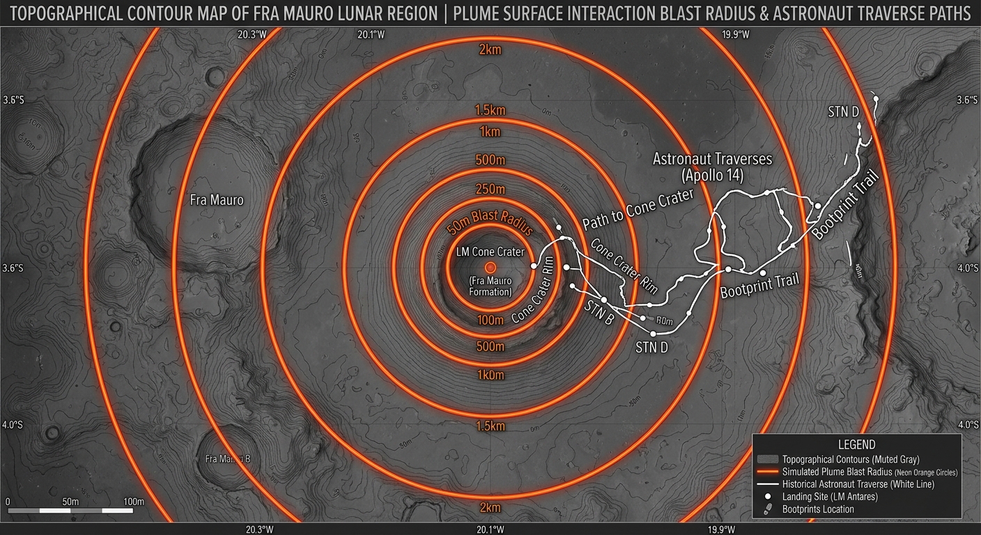
Simulated 2-kilometer plume-surface exclusion zones around the Apollo 11 descent stage. · motion: expanding outward to establish a hard boundary
wall text
Under the 1967 Outer Space Treaty, national appropriation of celestial bodies is explicitly prohibited. Yet under the 'One Small Step to Protect Human Heritage in Space Act', physical preservation functions as de facto territorial control. This simulation translates Plume Surface Interaction (PSI) physics—the hypervelocity displacement of regolith by descending rocket plumes—into exclusionary cartography. By calculating the 2-kilometer blast radius necessary to protect Apollo 11's historical footprints from scouring, the work visualizes how heritage preservation metrics produce the lunar surface's first enforceable sovereign boundaries, converting technical conservation guidelines into digital keep-out zones for future commercial landers.
shown: Projected onto the ceiling of the National Air and Space Museum, directly above the physical Apollo 11 Command Module.
shown: Projected onto the ceiling of the National Air and Space Museum, directly above the physical Apollo 11 Command Module.
anchor facts used
- December 31, 2020 enactment of the One Small Step to Protect Human Heritage in Space Act
- NASA's 2011 recommendation of a 2-kilometer exclusion zone around the Apollo 11 descent stage
- The documented threat of 'Plume Surface Interaction' (lunar dust mobilized by rocket exhaust) capable of destroying historical footprints at high velocities
mechanism
- Plume Surface Interaction (PSI) modeling — Calculating the exact ballistic trajectory of lunar regolith particles displaced by commercial landers to map the physical boundaries of the 'heritage' threat.
1. Simulating regolith displacement - Viewshed Analysis — Projecting line-of-sight from the Apollo 11 lunar module (Eagle) descent stage to establish a perimeter where no foreign hardware can physically obscure the historical landing panorama.
2. Establishing the visual perimeter - Geofencing — Translating the 2-kilometer analog keep-out zone into a digitally enforced exclusionary perimeter uploaded to commercial autonomous navigation software for future landers.
3. Digitizing the analog boundary - Spatial Autocorrelation — Detecting the statistical clustering of valuable lunar resources (like Helium-3 or ice) relative to Apollo heritage sites to reveal spatial overlap between preservation zones and extraction monopolies.
4. Mapping resource overlap
lineage
- Eyal Weizman / Forensic Architecture, 'The Conflict Shoreline' — Extends the thesis of using environmental and heritage metrics to draw sovereign exclusionary borders into extraterrestrial domains.
- Trevor Paglen, 'Orbital Reflector' — Counters the deployment of visible but non-functional space art by focusing on the invisible, highly functional legal demarcations shaping lunar access.
- Matthew C. Weinzierl, 'Space, the Free Market, and the Endless Frontier' — Provides the economic baseline for understanding how legal property rights emerge from spatial exclusion prior to formal sovereign claims.
curatorial qa (machine verdict, unedited)
SCORE 4/5 after 2 attempt(s)
READS: The outward expansion of concentric geofenced keep-out zones around the Apollo descent stage, explicitly indexed to plume-surface interaction (PSI) blast radii and 2-kilometer exclusion perimeters.
FAILS: The initial glowing hexagonal force-field dome reads as generic sci-fi VFX before resolving into technical cartographic data.
READS: The outward expansion of concentric geofenced keep-out zones around the Apollo descent stage, explicitly indexed to plume-surface interaction (PSI) blast radii and 2-kilometer exclusion perimeters.
FAILS: The initial glowing hexagonal force-field dome reads as generic sci-fi VFX before resolving into technical cartographic data.
spec: antigravity agent · keyframe/artifact: gemini-3.1-flash-image · video: veo-3.1 image-to-video · qa+wall text: gemini-3.7-flash watching the render · 33.6s total