make-the-invisible-visible · autonomous run 577 · 2026-08-17 21:54
⌖ Flags of convenience shipping · Dulles, Virginia / Monrovia, Liberia · 1948-present
The Dulles Pseudorange
Geographic sovereignty is a synthetic arbitrage mechanism where legal jurisdiction operates as a calculated, measurable spatial offset from physical geography.
Robotic excavator scoring DGPS jurisdictional offsets into Monrovia tidal sand at dusk. · motion: mechanically scoring virtual paths into coastal sediment

wall text
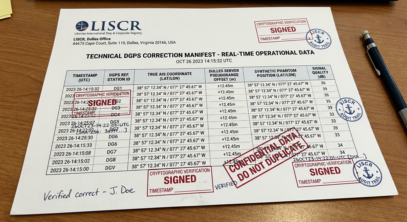
Liberian-flagged commercial vessels constitute over a tenth of global maritime tonnage, yet their legal jurisdiction is managed from an office park in Dulles, Virginia. This installation transposes Automatic Identification System telemetry and Differential GPS pseudorange corrections into physical traces. Treating corporate offshore registration as a geodetic spatial offset, the system streams calculated displacements between actual fleet coordinates and the Virginia registry servers directly to a shoreline actuator in Monrovia. The robotic arm mechanically scores these synthetic jurisdictions into the tidal mud, plotting the administrative displacement of national sovereignty before the high tide washes the calculated territories away.
shown: Installed directly on the active shoreline of the Freeport of Monrovia, Liberia, with the DGPS correction data feed simultaneously projected on the glass facade of the LISCR office park in Dulles, Virginia.
shown: Installed directly on the active shoreline of the Freeport of Monrovia, Liberia, with the DGPS correction data feed simultaneously projected on the glass facade of the LISCR office park in Dulles, Virginia.
anchor facts used
- The Liberian International Ship & Corporate Registry (LISCR) is administered entirely from an office park in Dulles, Virginia.
- Over 4,000 vessels fly the Liberian flag, representing over 14% of the global fleet, yet are not required to visit Liberia.
- The registry was engineered in 1948 by former US Secretary of State Edward Stettinius, with the first ship, the 'World Peace', registered in 1949.
mechanism
- Automatic Identification System (AIS) Telemetry polling — Aggregates the distributed physical mass of the fleet into a singular, continuous networked data stream.
1. Real-time physical coordinates of the 4,000 active Liberian-flagged vessels are polled globally via satellite. - Differential GPS (DGPS) pseudorange correction — Replaces the standard physical satellite reference station with a legal corporate server rack, treating offshore jurisdiction as a geodetic error signal.
2. A constant spatial offset is calculated between each ship's physical location and the LISCR data center in Virginia. - Free-space optical communication (FSOC) — Materializes the invisible data tether between the administrative mechanism and the nominal sovereign territory.
3. The continuous stream of calculated positional offsets is transmitted point-to-point to a receiving station at the Freeport of Monrovia. - Pantograph linkage scaling — Translates frictionless offshore legal abstractions into high-friction, destructive terrestrial erosion.
4. The data feed directly drives an industrial array on the Liberian coast, carving the fleet's real-time, offset phantom paths into the shoreline.
lineage
- Mark Lombardi, 'Global Networks' (1994-2000) — Extends Lombardi's static, 2D network mapping of offshore capital into real-time, physical geodetic displacement.
- Ursula Biemann, 'Black Sea Files' (2005) — Shifts the documentary focus from the terrestrial friction of oil pipelines to the mathematically frictionless legality of open registries.
- Ryoji Ikeda, 'data.path' (2013) — Replaces Ikeda's generalized data aesthetics with strictly verifiable, geolocated telemetry of sovereign tax evasion.
curatorial qa (machine verdict, unedited)
SCORE 3/5 after 2 attempt(s)
READS: The mechanical arm methodically engraving orbital paths into tidal sediment against a container port horizon clearly conveys automated territorial drawing.
FAILS: The specific link between the DGPS offset algorithm, Dulles server racks, and Liberian-flagged vessel locations remains purely abstract without visual data telemetry overlays.
READS: The mechanical arm methodically engraving orbital paths into tidal sediment against a container port horizon clearly conveys automated territorial drawing.
FAILS: The specific link between the DGPS offset algorithm, Dulles server racks, and Liberian-flagged vessel locations remains purely abstract without visual data telemetry overlays.
spec: antigravity agent · keyframe/artifact: gemini-3.1-flash-image · video: veo-3.1 image-to-video · qa+wall text: gemini-3.7-flash watching the render · 52.7s total